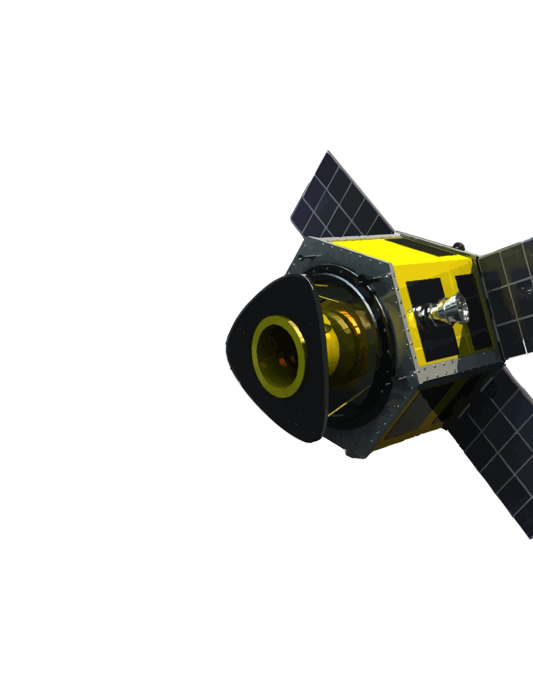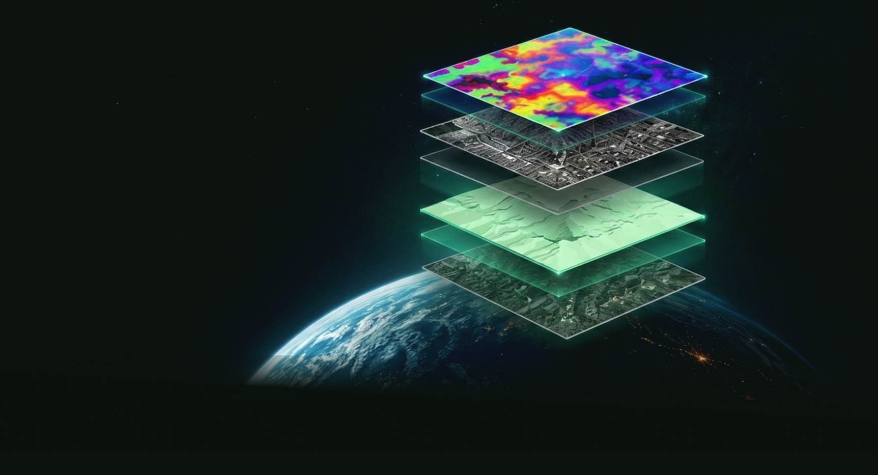
Satellite Data
SAR + Optical
AI Analytics
Detection + Prediction
Automation
Workflows + Alerts
Delivery
API + Dashboard
Geospatial Intelligence for Real-World Impact
Multi-source satellite data + AI + automation across Defense, Agriculture, and Infrastructure.
5+
Govt. & Defense Projects
10+
Enterprise & Pilot Clients
Platform Overview
From Data to Decisions — All in One Platform
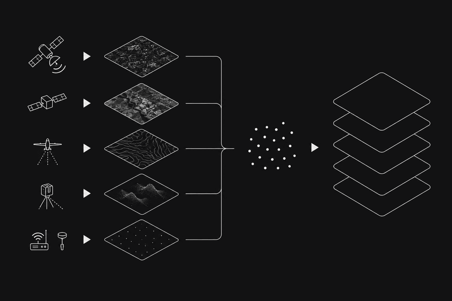
Bhoomicam fuses multi-source satellite data with advanced AI and automation to deliver real-time, actionable intelligence through APIs, dashboards, reports, and workflow-ready outputs.
Data Layer
SAR + Optical + External SourcesSAR data ingestion
Optical data ingestion
DEM / LiDAR layers
IoT / ground inputs
AI Layer
Detection + PredictionChange detection
Object detection
Risk scoring
Forecasting
Agentic Layer
Automated WorkflowsTask orchestration
Rule engines
Alert management
Continuous learning
Delivery Layer
API + DashboardREST APIs
Dashboards
Reports
Third-party integrations
Trusted & Backed By


OUR PLATFORM
Geospatial Solutions for Every Mission
AI-powered platforms, satellite data, and geospatial intelligence solutions designed for defense, agriculture, infrastructure, and enterprise applications.
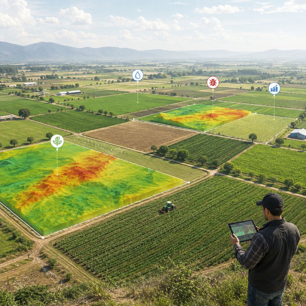
Agriculture
Crop intelligence, pest forewarning, yield estimation, and geospatial advisory workflows.

Infrastructure
Asset monitoring, corridor mapping, urban planning, and risk assessment with digital twins.
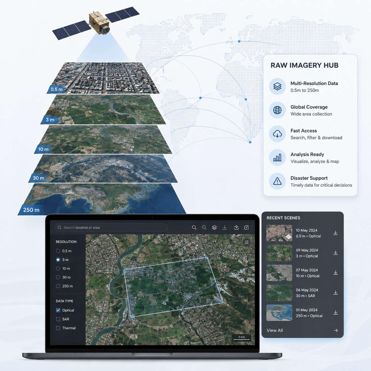
Raw Imagery Hub
Retrieve multi-resolution satellite datasets efficiently for visualization, analysis, mapping, and disaster-management
Built on Innovation. Backed by National Initiatives.
Our products, collaborations, and data initiatives are building the foundation for geospatial intelligence across agriculture, infrastructure, and national-scale applications.
OUR CASE STUDIES
Read to get more of agri-tech knowledge
Integrating Weather & Crop Intelligence Through Bhoomicam APIs
An agribusiness platform integrated Bhoomicam APIs to deliver weather insights and crop analytics to its clients and farmers.

Validating Bio-Fertilizer Performance Using Crop Analytics & Sensors
A bio-fertilizer company used BhoomiCrop Analytics and ground sensors to assess soil conditions and product performance.

Real-Time Crop Health & Stress Detection at Scale
Agribusinesses monitored crop health, vegetation cover, land surface temperature, and drought risks across large fields.
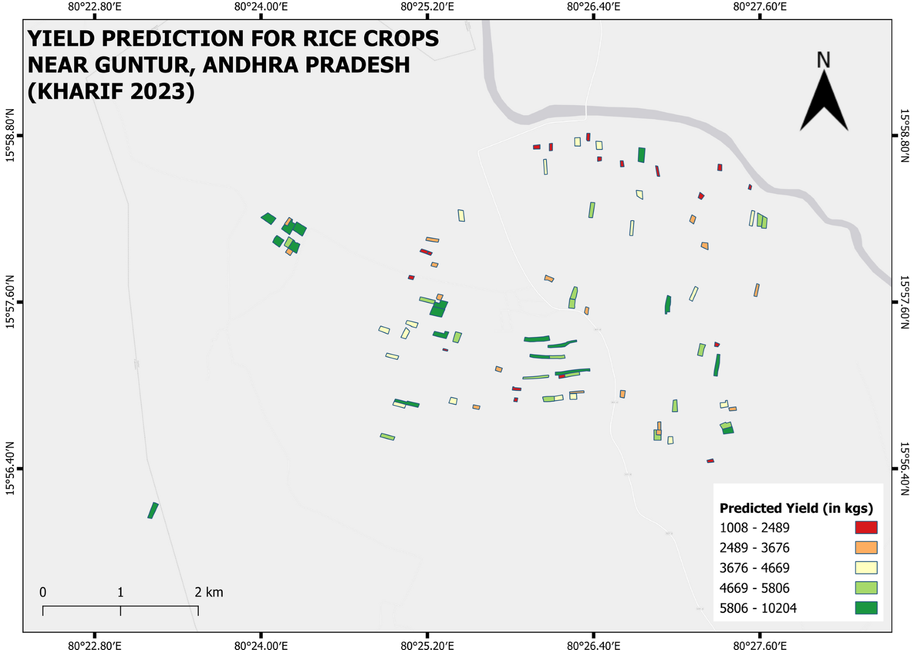
Rice Yield Estimation and Model Validation Across Multiple Fields
Yield estimates were validated for 87 rice fields using historical yield data from the 2023–2024 season.
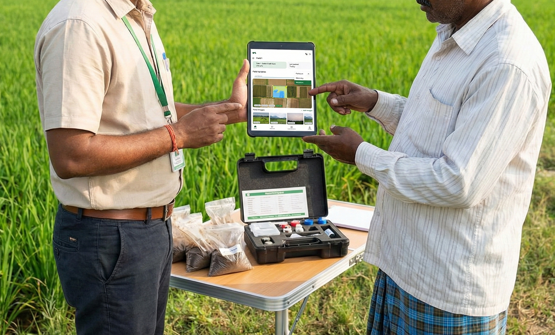
Soil Analytics–Driven Reports and Advisory
Agri businesses and FPOs converted soil test results into clear reports and actionable crop advisory.
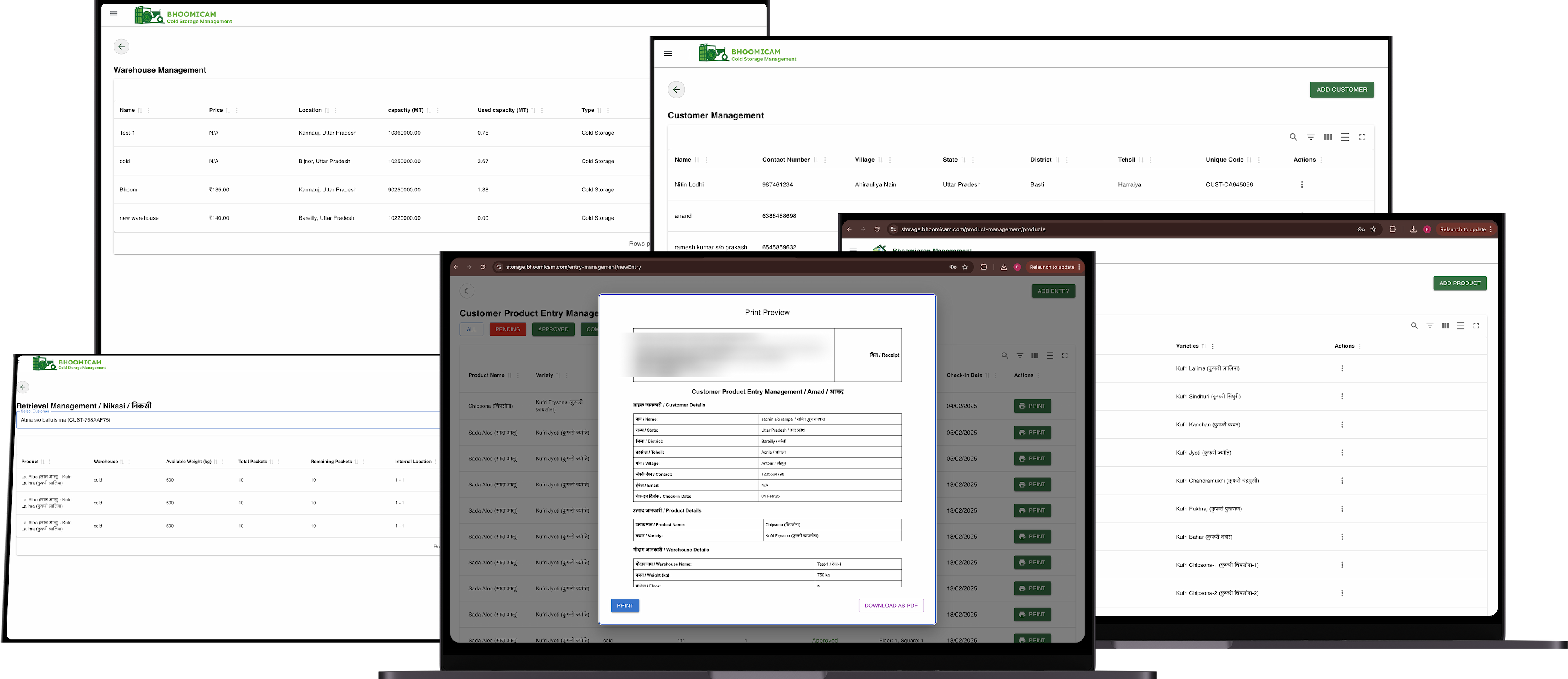
Digital Cold Storage Management and Temperature Monitoring
Cold storage owners digitized warehouse operations and monitored temperature using integrated sensor systems.
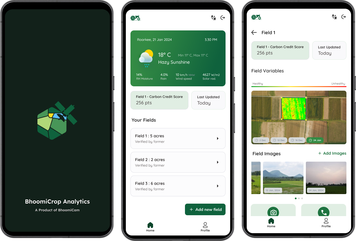
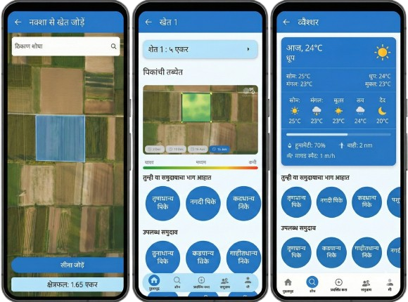
Free Mobile App for Field-Level Crop Analytics
Farmers and businesses used a free mobile app to draw fields, access analytics, and generate crop reports.

Helping organizations make real-time decisions from satellite intelligence